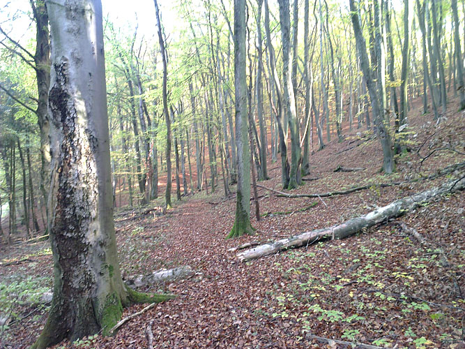
As usual, my forays into the Haard natural reserve start with a quick run up the road from our house, and then into the forest. The first 2km already hit you with 100m of elevation.
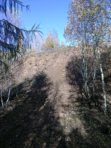
Next, I decided to deviate from my standard route and head East towards an area that is referred to as “Tipp” on some of my maps. Translated, that means “dump”; which may refer to the area being used for mining maybe a century ago.
What this means that there’s quite a few climbs like this, which look like they’re only ever being used by downhill MTBers.
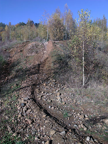
The following climb was quite hard (even though the image doesn’t really do it justice). Near the top, it took me a few minutes to get stable enough footing – for a while, I was stuck in a fairly sketchy spot I didn’t particularly want to descend back from, but couldn’t move up from because with every step up I was sliding back down again. It didn’t help that everything I tried to grab for support was loose and crumbly.
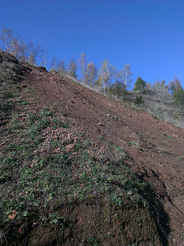
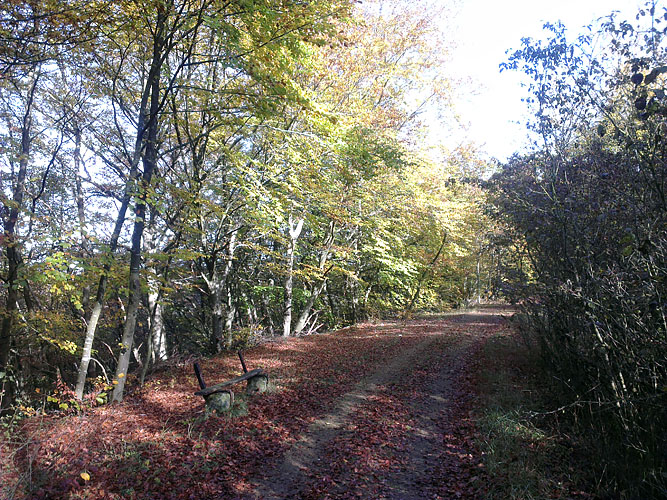
I finally made it to the top, at which point I reverted back to trails I normally follow.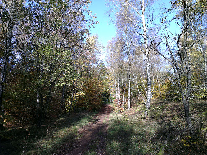


Summary:
Avg Pace: 8:05 min/km
Time: 1:31:28